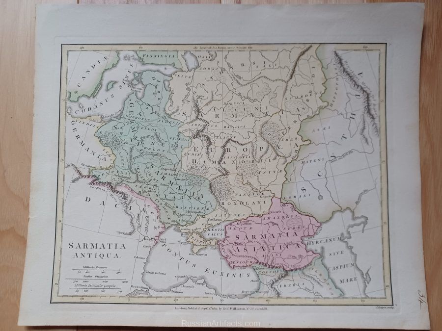
1801 Wilkinson “Sarmatia Antiqua” Map
$65.00
Out of stock
Description
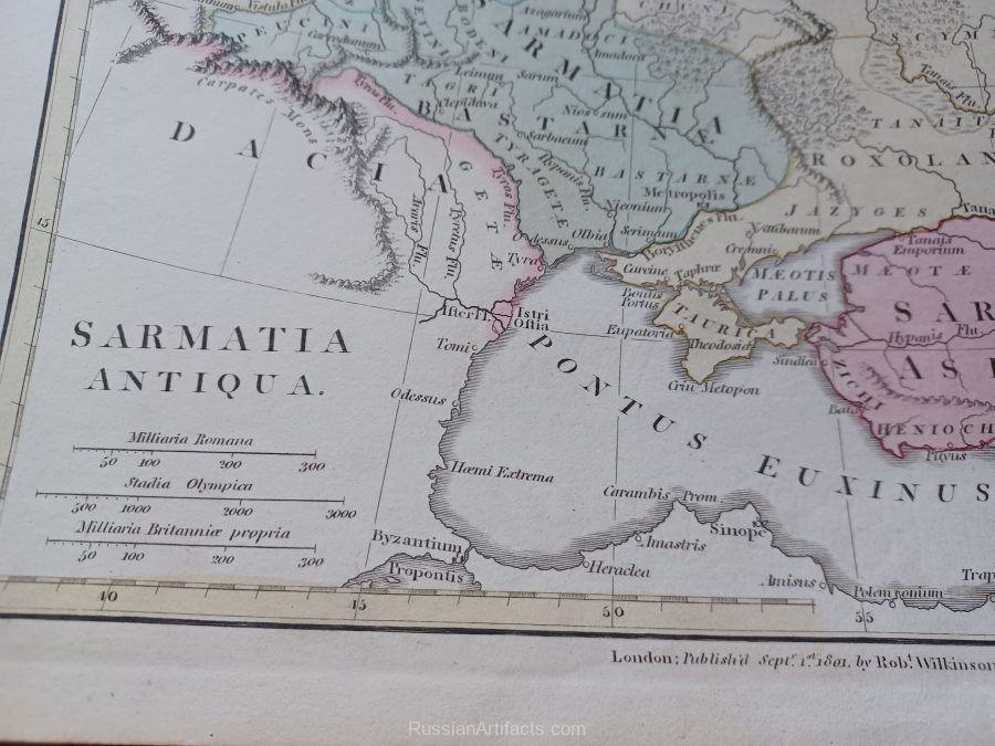
It is an original copper engraved antique map over 200 years old with embossed plate marks around the margins, original hand coloring as issued. It is from an edition of Wilkinson’s Atlas Classical: Being a Collections of Maps of the Countries Mentioned by the Ancient Authors both Sacred and Profane, published by Robert Wilkinson in London. The map has copyright date of 1801 printed on the map along with the publishing details. The map is not mounted, matted nor framed, being sold as a single sheet as seen in the first pic. It is a very nice antique map printed on a heavy buff page, blank on the reverse.
Russia, Ukraine, Georgia, Poland, Latvia.
Engraved area size: approximately 8 1/2 x 11 inches (20x28cm)
Sheet size: 11 by 13 1/2″ (28x34cm)
Additional information
| Weight | 0.3 kg |
|---|

